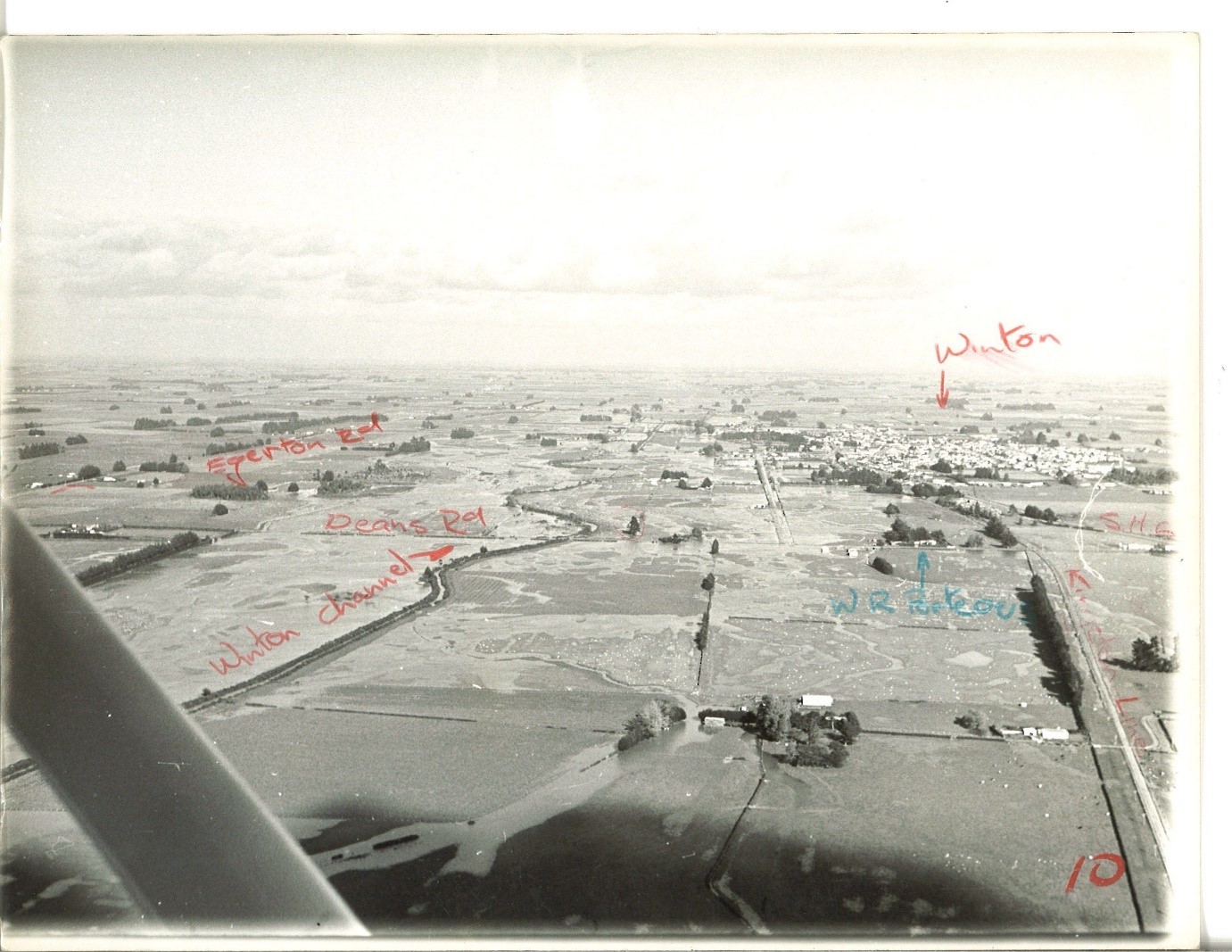
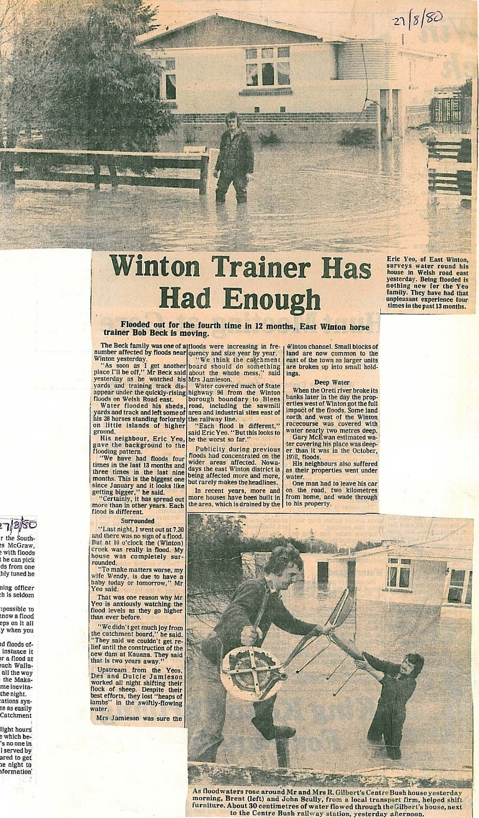
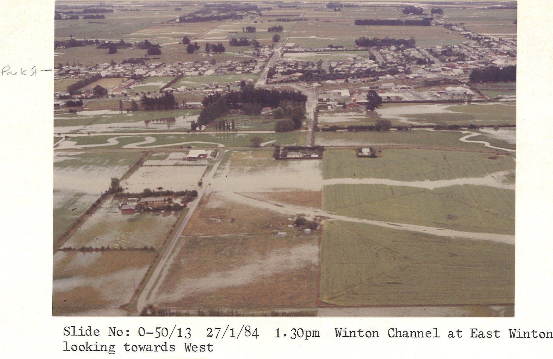
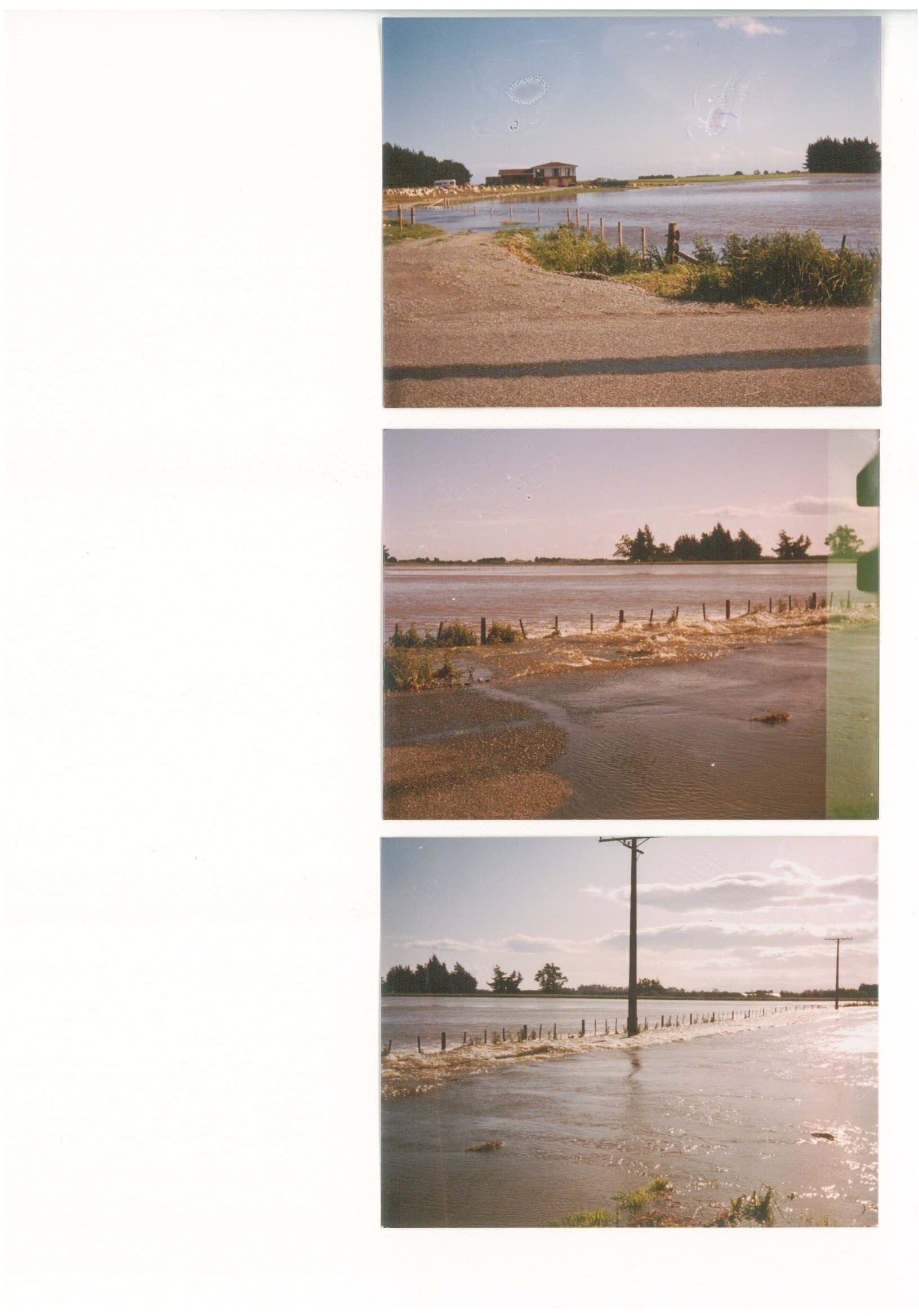
In the early 1990s, the existing flood banks along the Ōreti River were upgraded between Wallacetown and Lumsden, and a flood-detention dam was built upstream on Winton Stream, to reduce the likelihood and effects of flooding similar to the April 1968, October 1978, April 1980, January 1984 and March 1987 events. However, in the Winton area, those floods have return periods of approximately 15–20 years, so the level of service is not high in statistical terms (a 20-year return period flood has a 5% chance of occurring in any one year). These flood-alleviation works are not designed for larger flows. Overtopping increases the likelihood of breach, as overtopping floodwater can scour into the flood banks.
Flood statistics
Ōreti River Flood Statistics are available for Environment Southland’s monitoring sites at Lumsden Cableway, Centre Bush and Wallacetown. Centre Bush is the closest monitoring site to Winton. The design capacity/level of service of the Ōreti River flood banks at Centre Bush is 1200 cumecs. A 100-year return-period flow on the Ōreti River at Centre Bush is 1695 cumecs.
The ponding area behind the Winton Detention Dam filled to within 200 mm of the spillway in November 1999. It was a lot lower in April 2010 and February 2020.
See planning maps from the Operative Southland District Plan for the mapped floodplains of the Ōreti River and Winton Stream — Planning Maps 32, 80 and 81.
Recommendations
The Southland Regional Policy Statement 2017 directs Southland councils to reduce risk to communities from natural hazards.
Increasing the density of residential development in this area would set a precedent for further intensification and—given the residual flood risk—would be contrary to that direction. On this basis, Environment Southland would not support subdivision in this area for residential purposes.
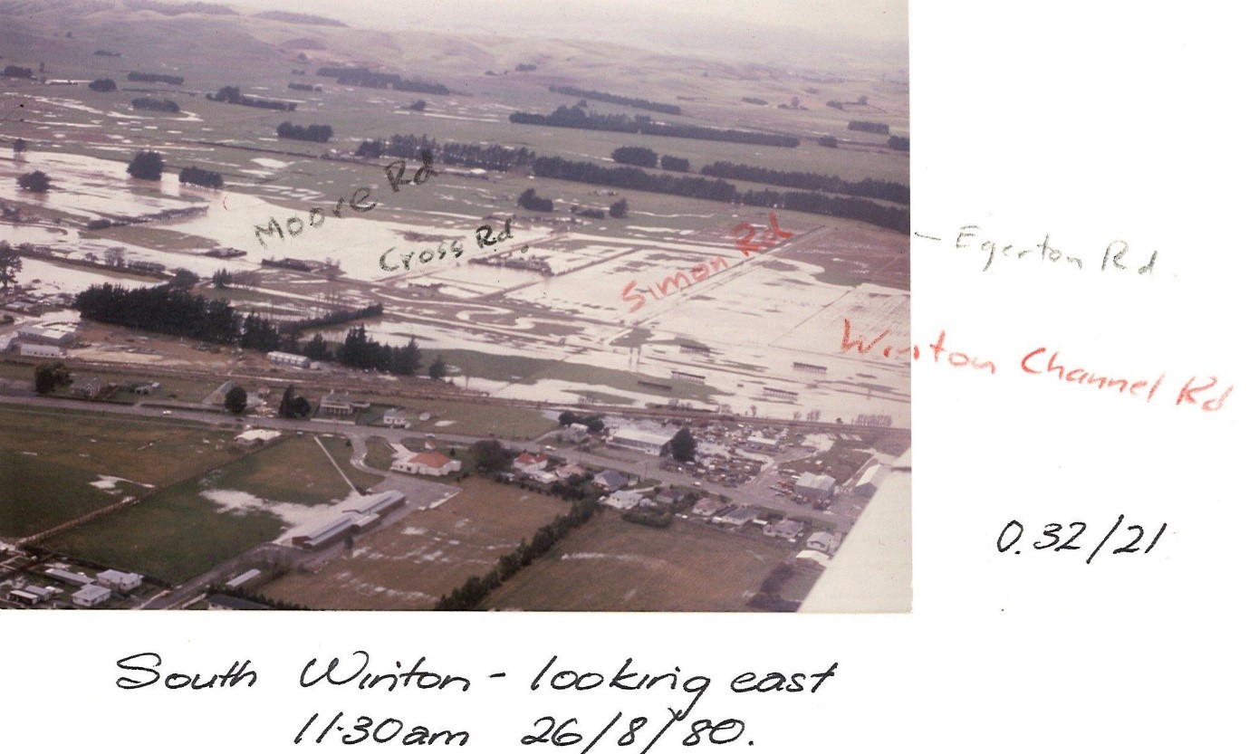
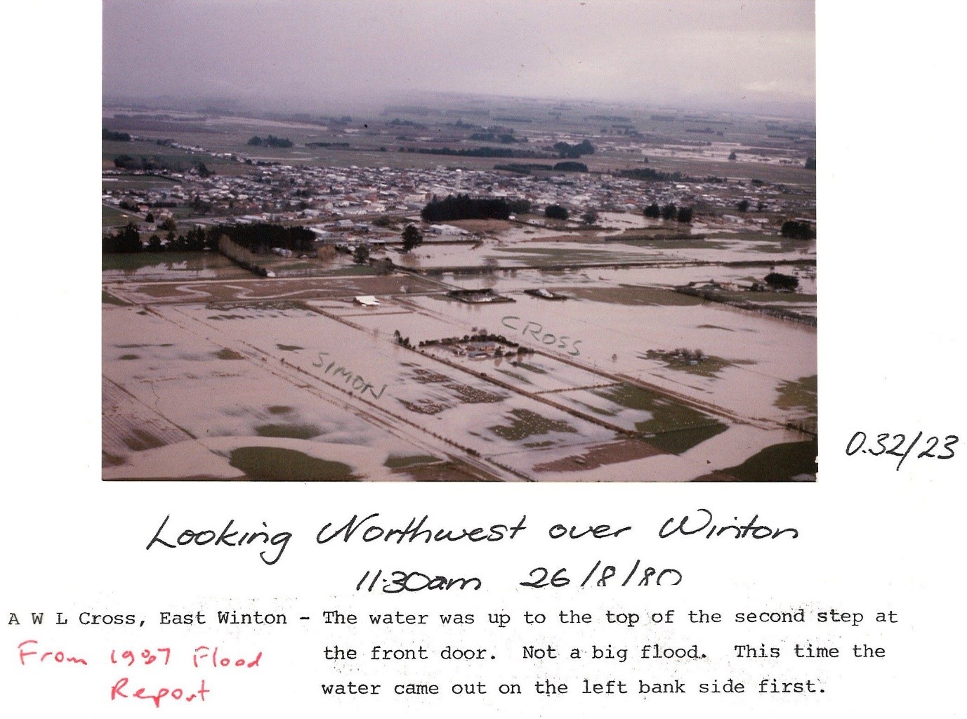
For new dwellings in this area, Environment Southland recommends that the finished floor level is at least 600 millimetres above the highest past recorded flood level to mitigate flood risk. On the east side of Winton, the January 1984 flood level was 200 millimetres higher than the floodwater seen in the August 1980 photos. For further advice on minimum floor levels, please enquire here.
For farm sheds in this area, Environment Southland recommends constructing the floor level as high as practicable to minimise potential flood damage to the building and its contents. The interpretation of “as high as practicable” is at the owner’s discretion.
For dairy sheds in this area, Environment Southland recommends elevating flood-sensitive electrical plant as high as practicable to minimise potential flood damage.
Environment Southland further recommends that owners and occupants develop a flood contingency plan and become familiar with the Ōreti catchment flood-warning system. Please see the attached fact sheet and related pages on Environment Southland’s website.