

Waiau Catchment Information
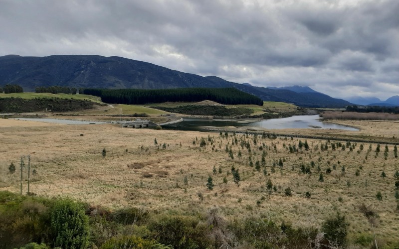
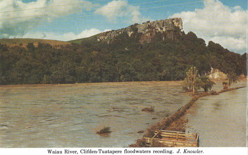
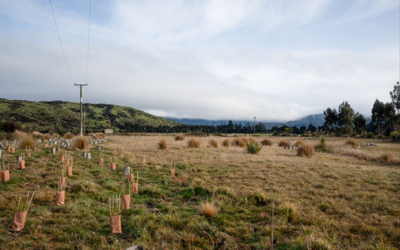
The Waiau River catchment is one of Southland’s most distinctive landscapes, stretching from the mountains of Fiordland to the sea at Te Waewae Bay.
The river begins in the alpine headwaters of Fiordland National Park and flows through lakes Te Anau and Manapōuri before winding across the Southland plains and out to the coast.
Along the way, the Waiau connects natural ecosystems, communities and productive farmland. It has also been shaped by hydroelectric development, which has influenced river flows and the catchment’s environment over many decades.
Understanding how the river works today is important for looking after it into the future. Explore the latest science and learn about the role of the Waiau Working Party in building understanding and supporting the management of this important catchment.
Explore the Waiau
- Upper catchment: Alpine streams, native forest and the natural landscapes of Fiordland National Park.
- Lakes and upper Waiau: Lakes Te Anau and Manapōuri and the waterways connecting them to the wider catchment.
- Mid and lower Waiau: The river as it travels across the Southland plains, alongside communities and farmland.
- Coast: The lower river and coastal environment around Te Waewae Bay.
- Hydroelectric system: The infrastructure and managed flows that are an important part of how the Waiau River operates today.
Waiau catchment summary report
The Waiau Catchment Summary report brings together the science on freshwater quality and quantity, progress towards targets and the pressures affecting our waterways. It also explores opportunities for action and the catchment’s social and economic context. Read more here.


