


A lifetime spent listening to rivers
For John Ellis, rivers have never been just part of the job – they are a lifelong passion.
After decades working in catchment and river management across New Zealand, he still speaks about them with affection and respect.
“Rivers, apart from my wife, have always been the love of my life.”
That long history has given him not only deep practical knowledge, but a strong belief that the best flood management starts with understanding how rivers behave – and working with them, rather than against them.
John began his career with the Nelson Catchment Board in the 1960s, starting “at the sharp end” doing physical river works before moving into supervising and designing schemes. Those early catchment board years shaped much of his thinking: practical, community-connected, grounded in field experience, and focused on understanding how rivers naturally behave.
Since then, John has worked with regional councils across New Zealand, including post-earthquake river restoration work in Canterbury, river and quarrying projects around the country, and recent flood recovery work in Tasman and the West Coast. He brings decades of hands-on knowledge about flood banks, gravel movement, floodplains, riparian planting and how river management has changed over time.
He is the first to say the sector has learned a lot over the years – sometimes the hard way.
John reflects that as river managers, “We got a lot of things right...but we made a lot of mistakes too, particularly around trying to force rivers into fixed paths.”
For John, those lessons point to a clearer path forward: one that relies less on trying to control rivers, and more on understanding their natural behaviour and planning for the long term.
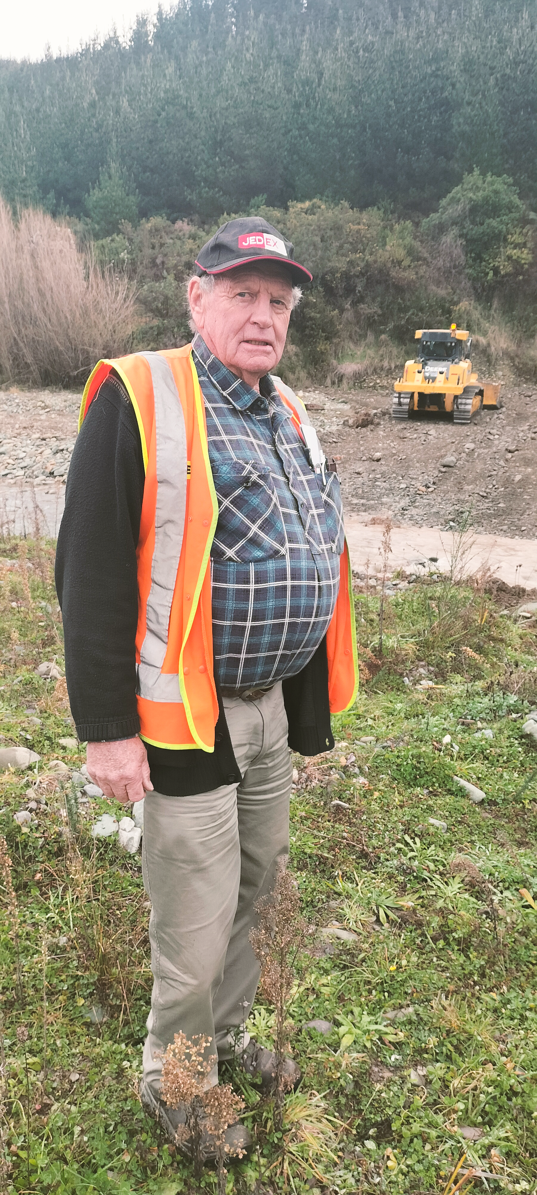
“We shouldn’t bully, we shouldn’t push, we shouldn’t change. We need to work in with what is best for the river,” he says.
John believes that thinking matters now more than ever, as communities consider how to reduce flood impacts into the future. Short-term fixes can sometimes create new risks particularly when they don’t take account of how rivers move through catchments and across floodplains over time.
“We need to think twice before putting up more flood banks because you may be creating more problems than you’ll ever solve,” he says.
In his view, long-term flood resilience depends on looking beyond short-term fixes and thinking more carefully about floodplains, river behaviour and the risks that come with forcing water into spaces it does not want to stay in.
“We need to try and get back to more of a natural river system. The rivers are only telling us what they want and need.”
John says good modelling and technical information are vital tools in understanding flood behaviour. However, to make the best decisions, those tools need to be informed by the knowledge of landowners, river staff and communities who have seen how water moves across the landscape during past flood events.
" We need to try and get back to more of a natural river system. The rivers are only telling us what they want and need."
In John’s view, technical information gives councils a valuable foundation, but community and partner input helps make that information real – adding context, identifying anomalies and grounding decisions in what actually happens on the land.
John is now contributing that expertise to the Southland Flood Resilience Technical Advisory Group which provides strategic, catchment-scale advice to help Environment Southland respond to complex river and flood management challenges and make consistent, confident decisions. Members of the technical group like John, also play an important role in mentoring local staff.
“The idea of the technical advisory group is to make the most of the knowledge that’s available. I'd like to see similar groups established for all regions across the South Island, giving each region access to extra expertise and experience when developing and reviewing river management,” he says.
For John, the challenge is to think beyond the next event and plan with the future in mind.
“We are setting these things up for generations to come.
Flood models
Helping us make better decisions
Environment Southland is developing flood models for Murihiku Southland’s four main river systems to support flood risk reduction planning and investment.
The Mataura catchment model is currently the most developed of these. It has been used to assess 26 short-term flood mitigation options across the catchment, helping prioritise projects included in the latest round of co-funded flood resilience work, including the Mataura River Flood Resilience Project and the current channel improvement works underway near the Gore road and rail bridges.
Modelling identified the Gore bridge reach as a key constraint during large flood events, with water backing up through Gore and increasing pressure on flood banks and related infrastructure. The current works are designed to improve flow capacity through this section of the river.
The Mataura model has also been used to test how nature-based interventions applied at a catchment scale could influence flood peaks and timing. One of the strengths of flood models is their ability to combine complex data, knowledge and local insights into a dynamic visual tool that helps communities, landowners, technical specialists and decision-makers explore options together, including how future actions can be prioritised and sequenced.
The other three main river systems are Aparima, Ōreti and Waiau.
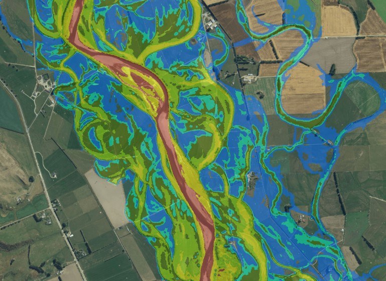
Flood modelling of a section of the Mataura River and its floodplain upstream of Gore. The colours represent different levels of flood hazard.


