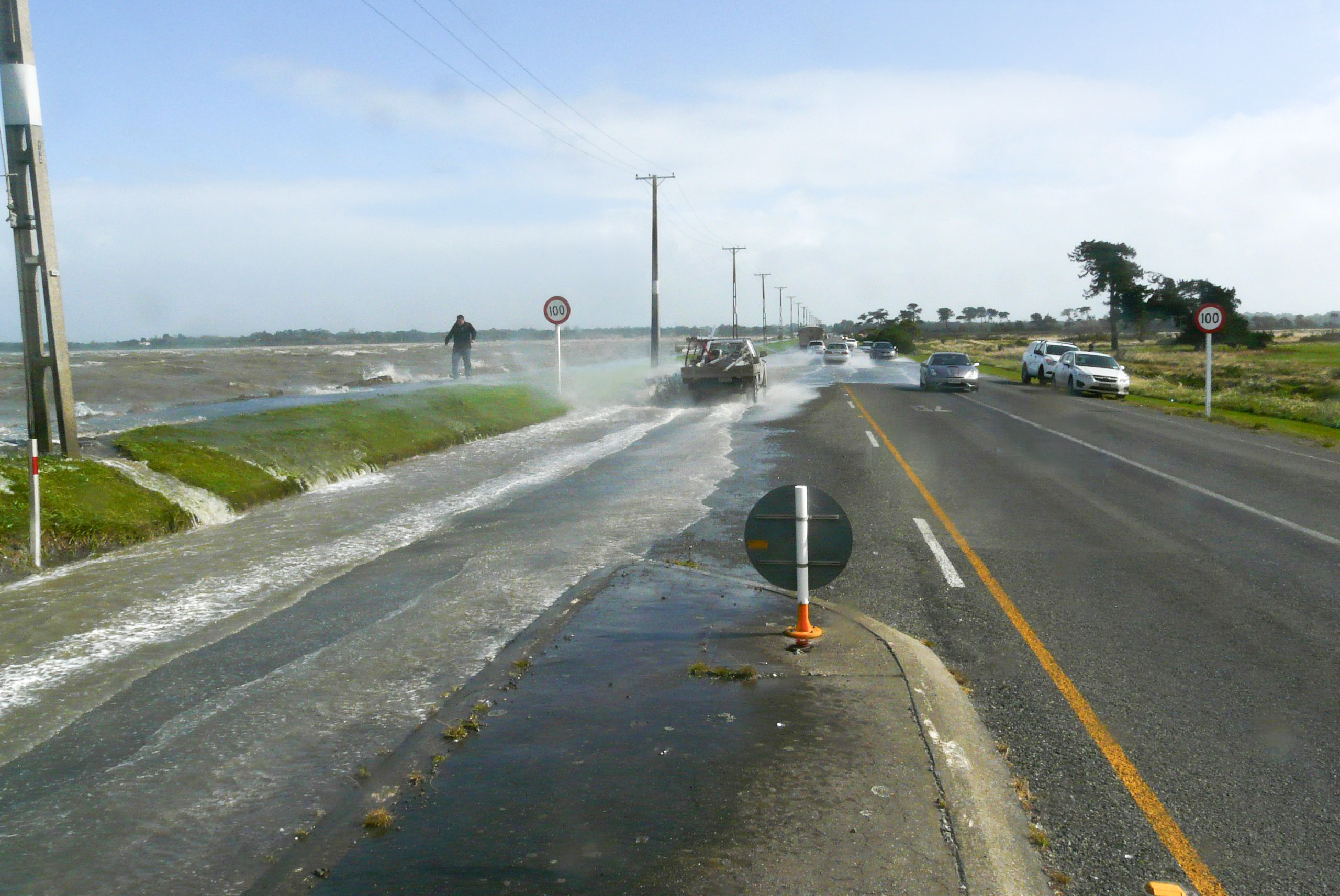
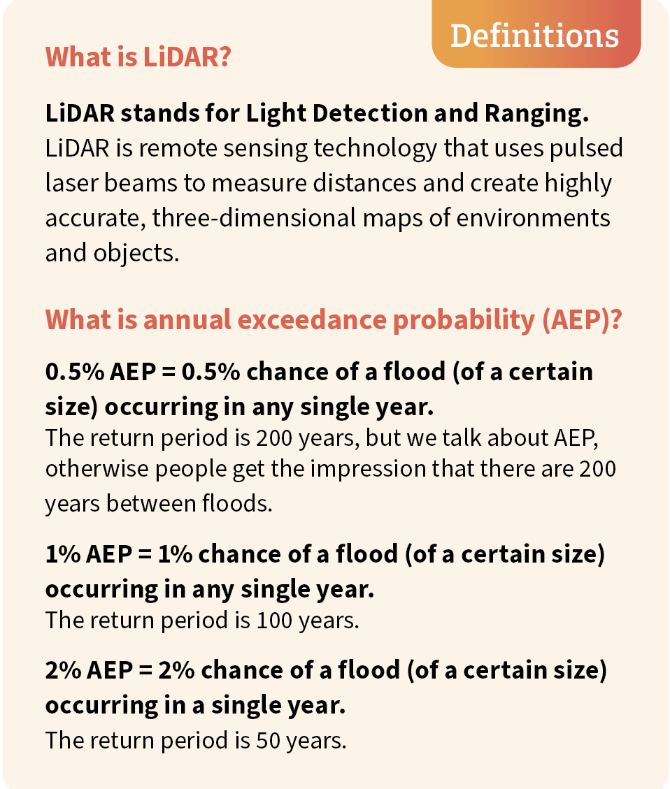
I look at historical information – old photos of past floods, modelling where we’ve got it, hydrological data and surveyed mapping; and now we have LiDAR.
“With LiDAR, you've got accurate information of the ground height and low spots. Even with a property without a riverine flood risk, if it's in a basin and relies on the stormwater system coping – and all stormwater systems have a design limit – there's a risk there.”
Risks have only increased as big weather events have become more frequent, longer in duration and increasingly severe in New Zealand, resulting in significant impacts to property and people’s livelihoods and wellbeing.
Today, Gavin’s knowledge and access to the latest information is put to work in a steady stream of enquiries. Some come from surveyors and planning consultants working on new developments. Others come from local councils making decisions about building consents (as they don’t hold the detailed information and modelling regional councils do), but more and more, enquiries come from everyday locals – people thinking about buying a house, or trying to insure one.
“They just want to know: What’s the risk?” Gavin explains.
Major weather events have changed how insurance companies assess risk, leading to a significant increase in insurance-related enquiries. Instead of spreading the cost evenly, insurance companies now look closely at individual properties – meaning more people are asking questions before they buy, build, or renew a policy.
Environment Southland has a hazards portal on its website, which can address most enquiries and is regularly updated.
“We have a lot more flood modelling now and that improves our quality of information no end.”
The annual exceedance probability, or AEP, is a way of describing the likelihood of flooding in any given year – information that insurers, councils and homeowners are increasingly relying on.
“A lot of communities have been built on flood plains because they’re flat, but we can’t keep making poor decisions. When people started building in flood-prone areas, they didn’t have the knowledge, like we do now.”
“Reducing the risk happens in the planning space when land is zoned, subdivided or developed.”
The answer isn’t necessarily to stop development; sometimes it’s a case of changing how it happens, such as requiring higher floor levels in some places.
“Normally, elevating your floor level increases your construction costs, but it can go a long way to preventing damage,” says Gavin.
For Gavin, it’s about giving people the information they need to make informed decisions, so the lessons from the past and the knowledge of today can shape a positive future.